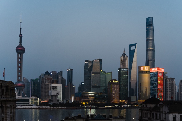
Learn the city from the water
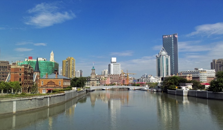
Use the Bund as a reference point. From Puxi you can see where Lujiazui rises on the other bank, while looking inland explains how much older fabric remains close to the water on the west. Following part of Suzhou Creek next adds smaller bridges and tighter bends to that first picture.

Save a separate outing for residential Shanghai
A lane-house neighborhood or a walk near Wukang Road works better as its own block of time. You can stop to see how a gateway or balcony meets the pavement without rushing back to the skyline. One river outing and one street outing give a first visit more range than a single circuit of landmarks.
Two short outings are enough to get oriented
Make the waterways the first outing and a street with residential detail the second. The river and creek help with direction, while a walk along Wukang Road or through a public part of Shanyin Road gives you a close view of the city. Set a clear start and end point for each outing to allow time for looking, eating and taking a break.